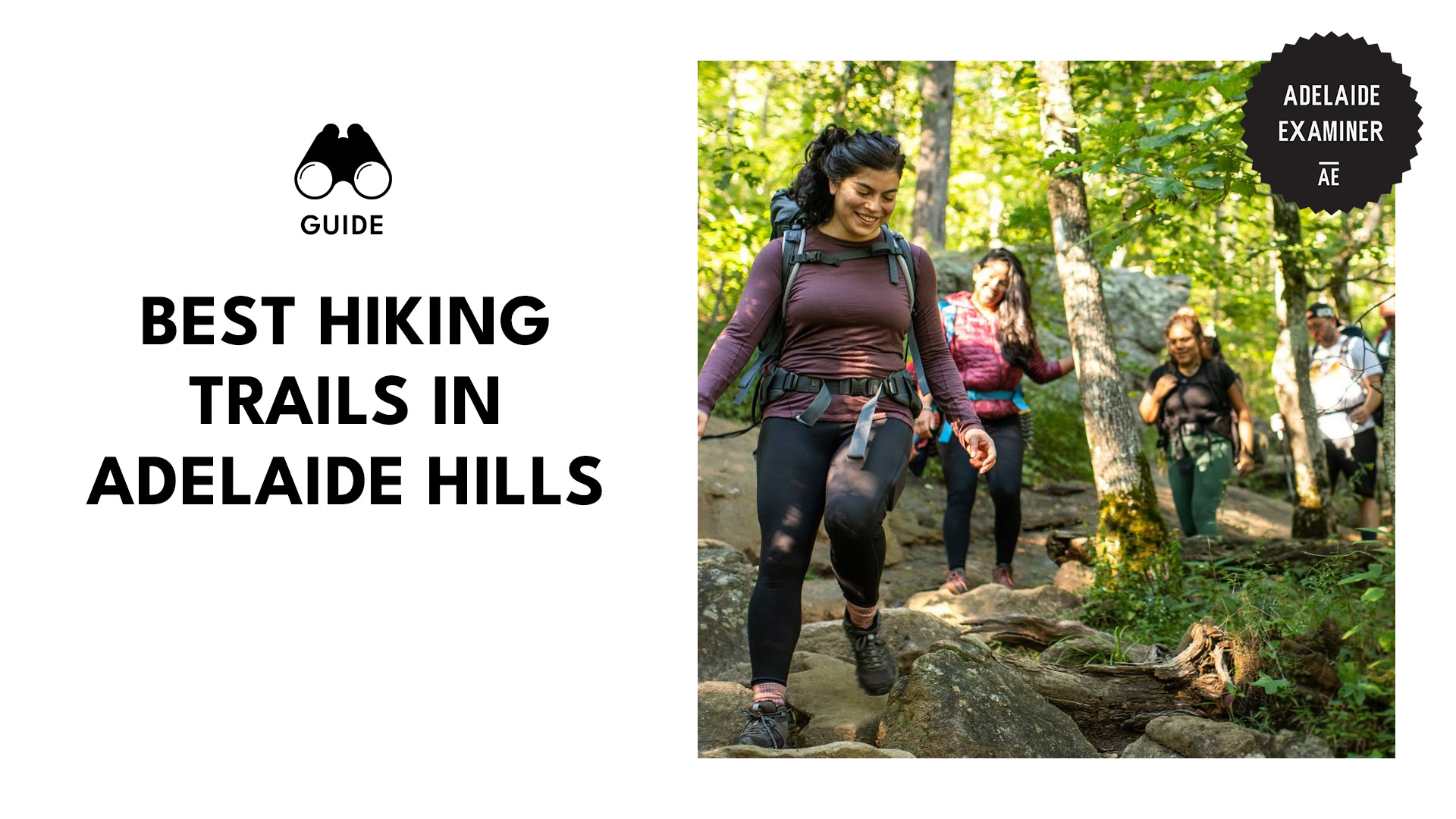
The 8 Best Hiking Trails in Adelaide Hills That Will Take Your Breath Away

Hiking is a great way to stay fit while soaking up stunning views. That’s why even at my age, I still lace up my boots and hit the trails whenever I can.
Adelaide has no shortage of trails you can explore, each offering beautiful lookout points and filled with wildlife encounters. These routes cater to all levels, from beginners to experienced hikers.
If you’re looking for one to take on, I’ll guide you to the best ones!
Horsnell Gully
Media From: indiapaarde
Location: Horsnell Gully
Distance: 11.9 km
Time to Complete: 5 hours
Difficulty: Moderate
Admission Fee: Free
The Horsnell Gully is a trail located inside the Horsnell Gully Conservation Park, offering a proper leg-burner if you’re up for the challenge. The trail dips into the gully, with plenty of steep climbs and sections with loose rocks. It’s not your casual stroll—but that’s half the fun, right?
You’ll wind through red gums and blue gums, and there are plenty of opportunities to spot koalas in the treetops, so it’s a great idea to look up occasionally.
You’ll also come across ruins of old cottages and other structures, showing you remnants of what seemed to be a mysterious settlement in the park.
I hiked here during the summer and let me tell you, I got sore the next day after doing some rock scrambling to reach the secluded Horsnell Gully Waterfall. But the view was worth the trouble as I spotted birds, kangaroos, and koalas!
Tip: There is a secret pathway if you follow the right-hand fire trail. It will lead you to a valley filled with creepy, abandoned cottages.
Mount Misery
Location: Cudlee Creek
Distance: 9.5 km
Time: 3 hours
Difficulty: Moderate
Admission Fee: Free
Fancy some trail running with added challenge? Take on the Mount Misery track, a trail in the Cudlee Creek Forest Reserve. It has an elevation of 348 meters and involves some climbing and rocky terrains, making it a great route for the adventurous.
The view at the summit is worth the trouble as you admire beautiful bushland, the Kangaroo Creek reservoir, and the Adelaide plains. There are also lookout points along the trail such as the Oregon Butte lookout granting you an awesome view of the Blue Mountains.
This is my training ground whenever I’m about to join a marathon. With its elevation, my body can adapt to the race, allowing me to adjust my breathing and pace.
Tip: The Fox Creek Bike Park is nearby, so bring your mountain bikes!
Heysen Trail
Media From: sean.sampson.940
Location: Cape Jervis
Distance: 1,200 km
Time: 290 hours
Difficulty: Easy
Admission Fee: Free
The Heysen Trail is a long-distance walking trail that stretches from Cape Jervis to the Flinders Ranges. It passes through the Adelaide Hills, where the route is ideal for beginners and those with children, with its shorter sections. Its gentle elevation, well-maintained trails, and well-marked paths make it beginner-friendly.
Along the way, there are plenty of scenic views, from the panoramic lookout at Mount Lofty Summit to the rolling Piccadilly Valley, Bridgewater, and the Cleland Conservation Park. The trail also passes through several waterfalls, including the Waterfall Gully.
Plus, the trail even leads to the historic town of Hahndorf, Australia’s oldest surviving German settlement, adding some history to your journey.
I brought my little ones on this trail. I think it awakened a sense of adventure in them, and I hope they can join me more on future hikes.
Tip: For seasoned walkers looking for a challenge, take the northern section of the trail. There are plenty of sections that are isolated and rugged, making it an exciting pathway.
Black Hill Summit
Media From: mab_2.0_
Location: Black Hill Conservation Park
Distance: 4.3 km
Time: 2.5 hours
Difficulty: Hard
Admission Fee: Free
If you’re looking for a challenge, try reaching the Black Hill summit. It’s a loop trail of 4.3 kilometers, with an elevation of 350 meters. The path consists of rugged terrain and steep sections. It will need a lot of heart—and experience—to reach the top.
Along the way, you spot a wide variety of flowers and plants native to the park. Don’t forget to stop and smell the kinnikinnicks, blanketflowers, and more. At the top, your hard work will be rewarded with panoramic views of Adelaide and the Adelaide Plains.
I challenged myself here. Every moment was a struggle, but the breathtaking reward was worth the sweat.
Tip: Avoid the heat by climbing during autumn. The weather is cooler, and the trail is less crowded. Plus, the changing colors of the leaves add a stunning visual element to your hike.
Mount Lofty Summit Trail
Media From: the__style__file
Location: Waterfall Gully
Distance: 7.9 km
Time: 2.5 hours
Difficulty: Moderate
Admission Fee: Free
Looking to rope in some mates for your next hiking trip? The Mount Lofty Summit trail is a solid pick.
It’s a round-trip trail with a steady climb and uneven surfaces. You’ll be huffing and puffing by the time you hit the top—547 meters of elevation will do that—but hey, no risk, no reward!
You’ll begin your ascent at the beautiful First Falls at Waterfall Gully, and the payoff at the summit is unreal—360-degree views of Adelaide and the sparkling coastline. On a clear day, you can even spot Kangaroo Island, about 10 kilometers away!
There’s also a cafe at the top to enjoy a well-deserved meal and to refuel for your descent.
My mates and I tackled it last autumn, weaving through thick bush, and spotting koalas and kangaroos along the way. We were all exhausted by the time we reached the top, but the view had us buzzing.
Tips:
- The Utopia @ Waterfall Gully is an ideal spot to get your pre-hike caffeine.
- Chambers Gully Walking Trail is a hidden path tucked in the suburb of Burnside where you’ll spot plenty of koalas and echidnas!
Three Falls
Location: Morialta Conservation Park
Distance: 7.3 km
Time: 4 hours
Difficulty: Moderate
Admission Fee: Free
If you’re planning to explore the First and Second Falls in Morialta Conservation Park, why not go the full distance and reach the Three Falls?
It’s a bit of a workout, especially with its mix of well-defined paths, steep inclines, rocky sections, and stair climbs. You’ll need to be reasonably fit to venture into this remote part of the park, but the view at the end is enchanting.
The trail gradually ramps up after the Second Falls, with the climb getting tougher as you near the Third. Once you’re there, you’ll be treated to sweeping views of Morialta Gorge and the surrounding woodlands.
Also, keep your eyes peeled for koalas, colourful parrots, and wallabies along the way!
Honestly, I forgot about the four hours of hiking after witnessing three waterfalls in a single trail. And when I finally reached the Third, my jaw dropped as I watched the water tumble into a quiet little pool.
Tips:
- There’s a natural cave formation that you can explore by taking a short detour off the main trail.
- A secret path off the main trail will lead you to Giant’s Cave—a natural rock formation that you can explore. Just make sure you bring a flashlight as the cave can be quite dark inside.
Blue and Red Trails
Media From: texwalka13
Location: Lobethal Bushland Park
Distance: 2.6 km
Time: 50 minutes
Difficulty: Easy
Admission Fee: Free
For casual walkers and families keen to get into hiking, the Blue and Red trails in the Lobethal Bushland Park are an ideal choice.
The Blue Trail has a mild elevation of 50 meters, while the Red Trail climbs 100 meters. There are some occasional steep sections, but the ascent is gentle enough that even kids can handle it without breaking a sweat.
The trails offer a peaceful escape from crowded tourist spots within the park. Wildflowers color the paths, especially in spring, and it’s not uncommon to spot kangaroos, koalas, and birds like kookaburras and rosellas.
Tips:
- Extend your adventure by visiting the Lobethal to explore its artisanal shops and cafes.
- Take the Heritage Track—an offshoot route from the Red Trail. It will lead you to remnants of early European settlements.
Wine Shanty Hike
Media From: osxpt
Location: Cleland Conservation Park
Distance: 10.5 km
Time: 3.3 hours
Difficulty: Moderate
Admission Fee:
- Adults – $30
- Children $15
For a hike that showcases South Australia’s beautiful ecosystems, explore the Wine Shanty Hike, a 9-kilometer loop. The trails here are versatile, allowing you to extend or shorten your hike by connecting with other trails like the Mount Lofty Summit Trail or Waterfall Gully.
Now, this climb is still moderately challenging, with an elevation of 400 meters, and a mix of rugged sections with loose gravel.
The climb, while steady, will take you through dense bushland where you’ll stumble across remnants of old wine shanties (thus the name), offering a glimpse of the region’s early viticultural days.
Once you reach the ridge line section, enjoy sweeping views of the Adelaide Plains, the city skyline, and the coastline (on clear days).
I hiked this for the native animals. With my trusty binoculars, I spotted a koala lazily eating the leaves of a gum tree!
Tip: Take the Eurilla track for a chance to spot rare wildlife, like the southern brown bandicoot, Rosenberg’s goanna, and short-beaked echidnas.